
Geophysical Methods
Electromagnetic conductivity Mapping
Primarily carried out with the Geonics EM-31 and EM-38, this method produces high resolution plan view maps of ground conductivity which provide a wealth of information. Buried debris, utility / pipe trenches, ground disturbances, buried channels / stream beds, and soil types are typically revealed. This technique induces electrical currents in subsurface materials and measures corresponding induced magnetic fields. The instruments record a bulk value of conductivity for materials within a range of 0.75 to 5.5 meters, depending on which instrument is used and the instrument orientation.
Ground Penetrating Radar (GPR)
GPR sends energy pulses into the subsurface and records reflected signals. Reflections result when energy pulses encounter boundaries between layers with different electrical properties. This technique can image boundaries between soil types (e.g., sands, gravels, and clays) and detect buried objects. This approach may be appropriate for depths down to 20 meters depending on soil conditions and antenna frequency.
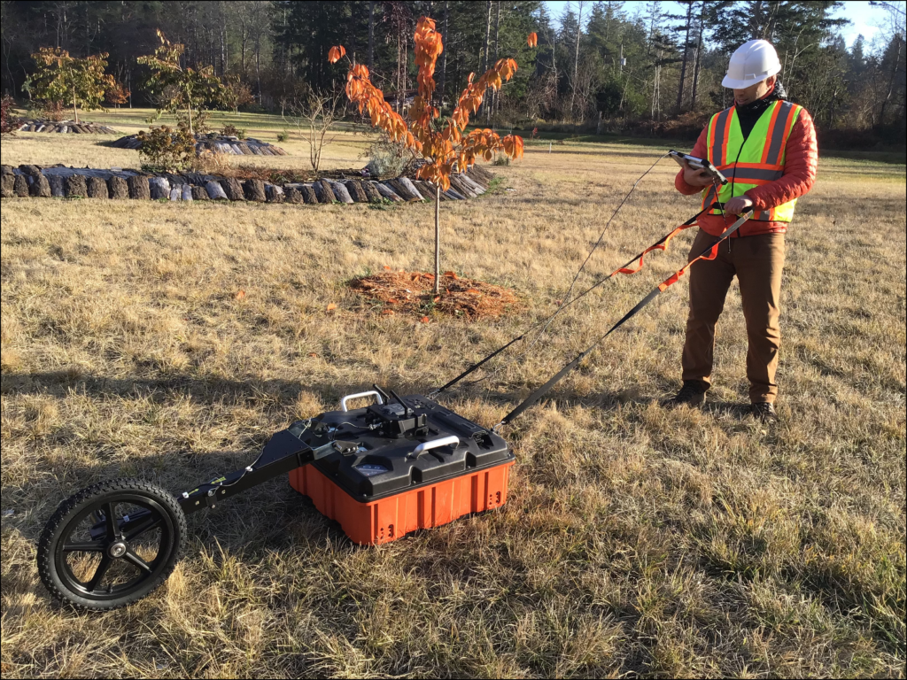
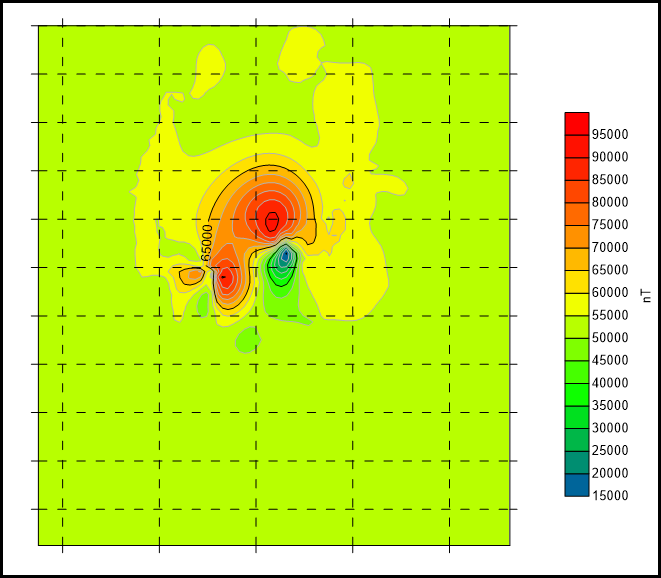
Magnetometer
Magnetometers record local variations in the earth’s magnetic field caused by the presence of magnetic materials. These variations can be mapped by taking systematic measurements in a grid pattern to locate magnetic objects. Typical targets include plugged and abandoned well casings, buried tanks, metal objects, archaeological sites, and landfills.
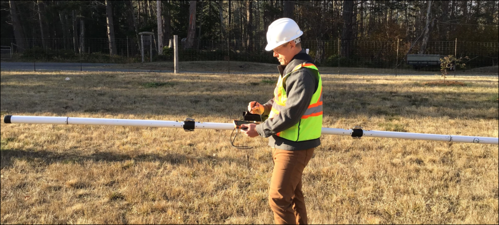
Radiodetection
The Radiodetect instrument traces buried metallic targets like utility lines and pipes. If part of the target is accessible, electrical currents of various frequencies can be injected directly into the pipe or tracing wire, allowing the target to be mapped independently of other lines. If no part of the pipe or cable is accessible, passive frequencies may still allow tracing of the target.